This article is intended to be a hypothesis based on fieldwork evidence, both factual and reasoned interpretation, and a dose of imagination.
The Knabb, means ‘hilltop’,but is used locally, to describe this path set within high sloping scarps, between Dark Lane and the Top Road, leading north to Kingsley,
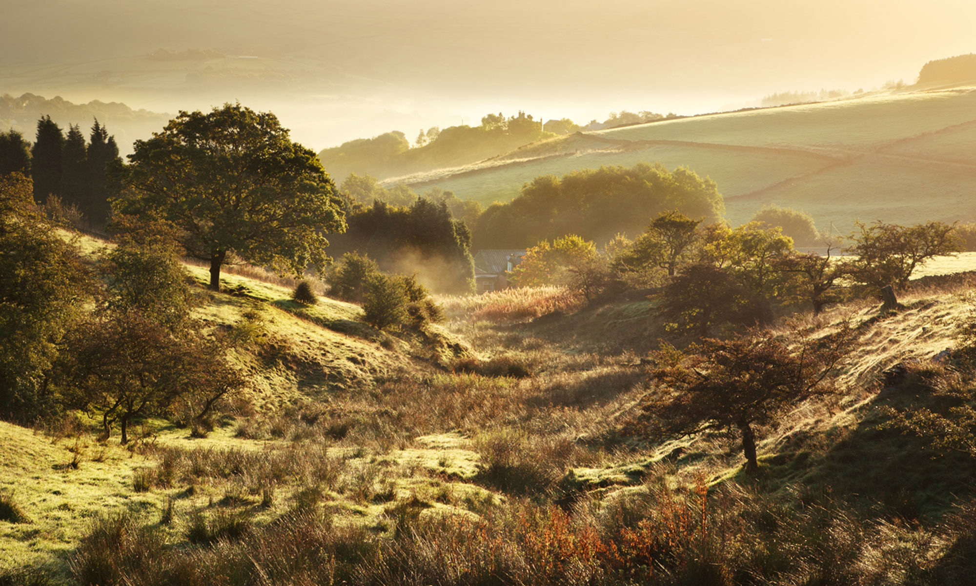
A path runs alongside a flowing stream, mostly straight for some 204m before assuming a natural course at a point where the path descends, and the stream continues a further 125 m then the path leaves to join Dark Lane. The stream, after a short, visible,stretch disappears via culverts and housing, to continue northwards to eventually feed the mill at Kingsley.

The valley is not a holloway like at Kelsall, or the shallower one, at Hockenhull. These are variants of holloways, as there is no certainty as to their formation. The Knabb is rather a narrow passage glacially formed by a tongue of ice being gradually constricted as in moved along the Knabb. The decent of the path and stream could be attributed to the ice ‘shelving’ as it was unable to progress. A waterfall formed at this point, as the ice melted back.


(Note: There are raised banks either side, possibly centuries old. An intermittent stream flows to the right. It is likely, it once resembled the one along the Knabb today.
The solid geology is dominated by Keuper Sandstone covered with clay and ground up rock material carried by glaciers some 10,000 years ago. The flowsing over solid rock, the stream bed is littered with small rock fragments and pebbles originating in the Lake District. Blakemere, a large kettle lake, itself glacially formed as ice retreated, may be the source of the stream.
The Knabb, is an extension of a wider valley, to the south, called Holloway Knowl, produced by a wider, thicker ice-flow that became confined within the Knabb. This natural corridor would present a perfect routeway for travellers of all kinds. Besides, the name, Holloway Knowl, where ‘hollow way’ satisfies a generally accepted place for the movement of people and animals. Such features are part of thousands of paths forming a network across the county and beyond. A network steeped in history, when for centuries walking was the only means of travel. Walking the Knabb path today, could easily be the means for Bronze Age, Roman, Saxon and those who followed, to pass to Kingsley. Now, that’s a rather thrilling thought!
The path is a key feature. Why, would so much effort be expended on its maintenance? Judging by its layers, it has been looked after for many years. I suggest, the path alongside the stream was a trading route. For how long is a matter of conjecture. One thing is for sure, the path and the stream are inextricably linked. As for the stream, its course has been altered, as considered in The Knabb, published earlier.
Landscape, the path, stream, hollow way and Kingsley, a settlement, dating back to Domesday, offers a strong basis for historical linkage. Adding a possible mill, is much more challenging and a leap of geographic rather than historical evidence. Geographically, the landscape context has its positives, yet, there is a historical branch worthy of consideration, namely, the use of the Knabb by packhorses.

Before there were decent roads, canal, and railways, pack horses carried goods of all kinds. Pack horses were part of the landscape for centuries, even in prehistory. The Domesday Book, of 1068, records pack horses and oxen moving salt from Cheshire across the county and beyond. In upland areas and other difficult terrains, supplies depended on these hardy, small horses. Pack horses travelled long distances, crossing the country in every direction. Some ventured from Scotland and northern England down ro London, to return with more loads.
These convoys of loaded horses kept to ancient trackways used by people to move from village to village; such tracks are still used today. Although main routes were followed, the preference was for quiet byways with a water supply, access to stopovers, such as inns and farms happy to get extra income.
There are virtually no records of packhorse routes in Cheshire. Few references give more than a fragment of a route. Place names, certain bridges, pubs and often, field names, give some idea of this vanished trade. Such a trade has to be manifest in places where packhorses are most likely to travel.
I propose, the present path along the Knabb, was once a muddy, often flooded, and largely impassable, way to Kingsley. Still, packhorse convoys, sometimes in a line of 30 or more, were able to deal with such conditions. Anything on wheels failed to deal with the dire state of the roads, let alone the Knabb. Only the pack horse could deliver great loads of supplies, regardless of the conditions. Not until roads became fit for horse-drawn traffic, in the 18th and 19th centuries did the packhorses trade diminish. Today, a narrow footpath remains though by the 15th/16th centuries a wider, path set with stone slabs, regularly carried supplies from coal to food, to and from Kingsley. Nor were hollow ways selectively used, but rather, by virtue of their historic use. Hollow ways were embedded in the landscape and the lives of people in Cheshire and nationally.
Reader’s comments are most welcome.