In an article, Causeway 1 and 2
Causeway 1
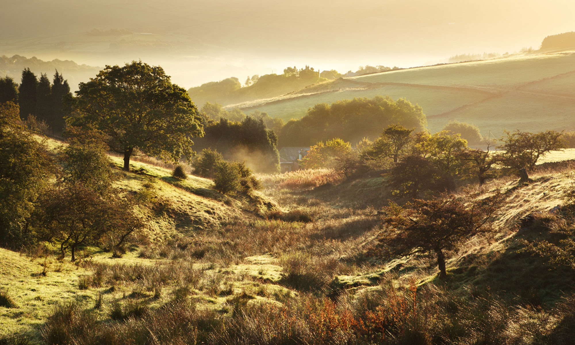
Causeway and bridge
This substantial structure more reminiscent of a road than a bridle way connects the Hockenhull (east) and middle bridges. A recently discovered photograph in Cheshire Life from 1947 shows the now buried causeway linking the middle to the west bridge, but is it the same as the one shown above
The 1947 is significant because the Gowy flowed through the west bridge apparently until the about the 1940’s. By 1945, it went through the middle bridge. To see the causeway visible means the photograph was taken around 1943-1944. It also shows the causeway closely resembling the one between the middle and east bridge.
(1947 bridges and causeway)
To have built a causeway over marshland was a serious undertaking. Did barriers hold back the marsh during construction? Could it be there was a much earlier causeway and the river flowed under one bridge, the Hockenhull bridge? There is unlikely to be any account of the actual construction as this was very rarely documented with an bridge or causeway.
The favourable weather of 1665-66 would have been a blessing. Both the causeway and bridges were built around the mid-17th century. At this time one of the longest dry periods ever recorded occurred from November 1665 to September 1666. Doubtless, the Gowy barely flowed and the marshes dried out enough for construction to go on unhindered.
Constructed of large sandstone blocks, topped with a mostly complete length of setts and raised a metre above and below ground, the causeway shows quality engineering.
(causeway setts)
It is thought both the causeway and bridges were built about the early to mid-17th century. The date is supported by a masons’ mark on one of the kerbstones near Hockenhull bridge. The same mark is also to be found in Tarvin church
(masons’ mark)
I suggest another form of causeway underlies the present one either as an extension of the one, mostly hidden, between the middle and west bridges, or an altogether much earlier one.
Could both causeways be contemporary or is the hidden one much earlier, even Roman? Why is one raised and above ground whilst the other is mostly buried; presumably by sediment deposited in flood conditions or even human activity?
In considering the raised causeway some questions rather than answers present themselves.
- Was it built on top of an earlier causeway that was breached by encroaching marsh and seasonal flooding?
- Substantial and raised means it might have been intended as a foundation of a road at a later date; a turnpike road was considered in the late 17th
- If a road was the determining factor perhaps funds were exhausted or opposition from the Grosvenor estate prevented extending the causeway beyond the middle bridge;
- Was it raised as a flood defence when the river flowed through Hockenhull bridge?
- ……………………………………………………………………………………………………………………………………………..
CAUSEWAY 2
How were the materials transported and used in the construction of the causeway between the middle and Hockenhull bridge? Were materials hauled over bridges by carts?
One thing is clear, carts used the bridges until at least the 18th or early 19th centuries
…………………………………………………………………………………………………………
It took 33 tonnes of sandstone to construct the causeway walls and some 80 tonnes of earth to infill between the walls; each block weighed 140kg/309lbs.
How much a cart or wagon carried would depend on its construction and what was pulling it. To haul 240 sandstone blocks alone required horse-drawn carts (or wagons) needed many journeys. A cart fully laden carried about 3 blocks requiring some 80 journeys; a wagon carried a maximum of 14 blocks, making 18 journeys. Assuming cart haulage and masons laying each load in about 2 hours and averaging 15 to 20 blocks a day, they could complete the causeway walls in about 2 weeks. With the infill the whole construction took less than a month.

Where the materials came from is uncertain though Waverton quarry was nearby. Owned by the Marquis of Westminster, it provided stone for Waverton village, its church and, with his quarry at Aldford, was used for many building projects, including bridges. In a speech to the grand jury at Chester Castle, in 1624, Richard Grosvenor said, ‘the decay of bridges and highwayes ought to be part of your care and charge…’ This was about the time Hockenhull parish was awaiting consideration of its plea to repair its bridge.

The most direct route was along Plough Lane/Platts Lane rather than by Guy Lane and Stapleford bridge to reach the Platts from the Tarvin-side. The final section of Platts Lane was regarded as both narrow and muddy and often impassable to carts in winter. However, in summer conditions the Tarvin route was equally possible with stone from the quarry there.
The question is how did such heavy sandstone blocks and an even greater weight of infill material reach their objective?
Two alternatives are put forward here in building the new causeway between Hockenhull bridge and the middle one. In both the assumption is all the construction materials came from the Christleton side.
The two alternatives being:
- The bridges were present
- Only Hockenhull bridge was there and an earlier causeway went to it.
Causeway with bridges
After its short journey, a single horse, pulling a heavily laden cart, with big, iron-bound wheels rumbled to the end of Platts Lane. Ahead lay the old paved causeway. Slowly, the cart, its axle clear of the sandstone kerbstone, crossed the west bridge (Christleton) as the Gowy flowed noisily beneath, then over the middle bridge, with its narrow tributary. (The river flowed through the middle bridge in the 1940’s)
On reaching the Tarvin side, a team of masons and labourers waited. After weeks rebuilding and strengthening the old Hockenhull bridge, the labourers had prepared the groundwork for the new causeway. Line and height poles marked the path of the new causeway, its foundations guided by an old, fractured, paved track.
Unloading the sandstone blocks required ramps, pulleys and the exertions of four men to set each stone in position. Guided by the master mason the end result was so accurate as to hardly trace a space between the blocks. As they worked the cart would be returning to the quarry as another was preparing to leave.
The whole project meant the route was closed for about a month causing obvious disruption to traffic. However, often a ford pre-dated a bridge so its possible pedestrians, horse-riders and even packhorses continued as before. Today, a marshy pool close to Hockenhull bridge may have been the ford.
In summary, carts and very possibly, wagons had to negotiate two narrow bridges to reach Hockenhull bridge to commence building the causeway.
Causeway without bridges
It is based on practicalities and, like the other, not supported by documentary evidence. Indeed, it is unlikely such evidence exists in both cases.
This alternative suggests only one sandstone bridge (Hockenhull) and an earlier causeway allowed the materials to be moved easily. Instead, of two other sandstone bridges, gaps in the causeway allowed the Gowy and one or more tributaries to flow through.
Clearly, this is purely an imagined situation. It takes an existing causeway starting on the Christleton side and continuing across the whole width of the Platts. Carts and wagons could far more easily move heavy materials without crossing bridges. Therefore, this idea of a continuous causeway across the Platts is suggested by personal fieldwork along the wall footings of the new causeway. It maybe mistaken but it would be surprising for a paved path of some kind not to have been constructed before the bridges. Besides, the wing of the middle bridge makes a sharp turn to align with the old causeway. This appears to support the causeway being there before the bridges with the other two bridges directly in line with the old causeway.
This points to a challenging conclusion. That the bridges were built on top of the causeway by using the pre-existing culverts as the bridging points.
Who built the original causeway is speculation. Behind Waverton church is a path very like it. Same width, with sandstone kerbing, ditched on either side and seemingly, on a packhorse route to Saighton and Aldford; both owned by the Westminster estate and built of ashlar sandstone.
Interestingly, there are a number of small bridges around both these villages and elsewhere on the estate, constructed of ashlar sandstone as in the bridges at Hockenhull.
In conclusion, there was some form of causeway for many centuries with additions and changes over time, each seeking a safe, secure and more permanent structure. Its presence has been suggested as Roman but not by informed opinion. In consideration of the land ownership and the widespread use of sandstone on its various estates, the likelihood is the now largely hidden, is early medieval, built around the 12th century.
The new causeway
What was the reasoning behind the construction of a substantial causeway between Hockenhull bridge and the middle bridge?
As a floodwater barrier it was unnecessary as the Gowy was flowing through the west bridge; the middle bridge could relieve floodwater.
There was a more sinister reason. A century after their construction, the bridges and the Platts route was under threat of destruction. In 1760’s, the Chester Town Turnpike Trust made plans to send a road through the Platts but the landowner, the Duke of Westminster, objected so the road was re-routed via Tarvin, the present-day A51.
In 1824, the threat returned. The County Council proposed the same plan as the Turnpike Trust. Again, it was rejected to leave the Platts in peace.
Today, the days of metalled roads spoiling the gentle pace and tranquillity of the Platts are over replaced by a timeless atmosphere when the tingling bells of packhorses and the memories of people are traced in stone.
Comments welcome at dbkeogh@hotmail.com
Next: Crossing Hockenhull Platts marshes