8th Dec.2020


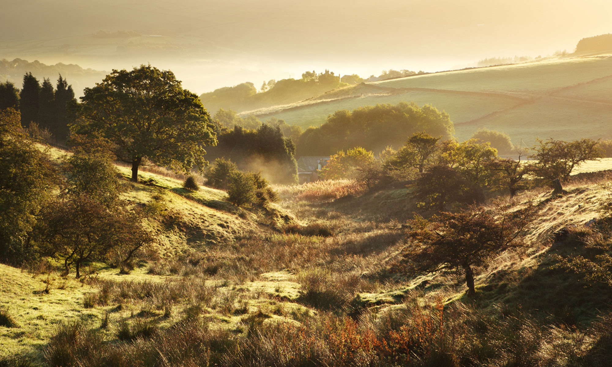
The topography consists of a valley, narrow at the south end then widening as it meets a small valley to the west. The stream valley is considered glacial, possibly a meltwater channel.
Housing is dominantly on the eastern ridge with gardens sloping down to the stream. The western slopes are deserted until much further north when the stream is culverted before reappearing later,
The Knabb, is a made footpath alongside a stream starting at Guest Slack road and ending at Dark Lane. The path is on the left bank of a strongly flowing stream, some 30 cm deep for most of its length, with deeper parts where it crosses small rapids. Where the path descends quite steeply, the stream loses its straight course, widens and appears natural .The photo below shows the stream on the left of the wide path. Note its narrow, straight course compared with after the path descends some 5m.


The following photo indicates the fall in both the path and nature of the stream. It’s character has changed suggesting a transition from controlled flow to free flowing

Red line marks the ground level above the stream
One key contrast of this transition is in the banks. Above the fall in slope, over half the length of the banks are lined with sandstone blocks, usually some 0.5m high, excluding what lies below the water-level and stream bed.

Dating the sandstone blocks is likely to be impossible unless other clues emerge. As there is no record of a mill on this stream, perhaps an old map might help.


Left, Greenwood’s 1819 alongside Tithe 1845. Comparison of the two, points to clear changes in the course of the stream. Before the 19th century, the stream appears to be closer to Dark Lane. Despite possible map inaccuracies, the land, even today, is largely unmanaged and prone to waterlogging.
The changed character of the stream suggests a number of reasons:
prevent flooding of the stream though the valley slopes to it mean water draining downslope creates boggy ground. This is evident on land adjacent west of the stream.
- to secure a stable path along the stream for a specific reason and not just for the convenience of travellers on foot
- to ensure a faster flow by stabilising the banks on both sides. This would prevent winter flooding on the left bank, in particular.
- that stabilised banks existed before the path was laid down. The use of sandstone blocks means there was something benefiting from this. Leaving the natural banks would appear as Greenwood mapped the stream.
9th Dec: Provisional theory: The stream is lined with sandstone blocks for at least half its course. Where the topography changes, though not dramatically, the stream becomes natural, both in varying width and velocity. It is the point of transition, suggesting a mill may have existed. At what date is not known, nor never be known. Or, the mill was at Guest Slack, at the road or just before, in the grounds of Millfield Farm. Sadly, no mill is shown at either of these two sites. Does this mean any mill was pre-Greenwood, and not being on Burdett’s 1777 map, even earlier? Might this mill be much earlier? After all, so often it was the minor streams that were used by the Saxons. Now, that would be a very great leap of the imagination.
20th Dec: Decided to measure the Knabb stream
It falls in three sections: straight, curving and natural.
- Straight 151 m
- Curving 88.8
- Natural 123
As mentioned before, the straight course is mostly lined with sandstone; curving, is still largely contained with only the path side, built up with a mix of timber, brick, concrete and stone; the natural course, begins after the fall in the path, again supported with a mix of materials, whereas the further bank is to be expected of a natural stream. Small bays, irregular banks
Yet, there was a windmill and watermill in 1824, with only the former actually mapped. This anomaly is outside the realm of the present investigation.


Millfield Farm (left) and possible mill site (right)
One most recent , intriguing finding relates to the road on the right-hand map, and highlighted below. The road in 1845 is gone in all maps to present day OS.map.

Before 1845, only Bryant’s 1831 map shows it indistinctly:

What is the significance of this road. Firstly, it has disappeared, why? Secondly, it ends almost at the place where the transition of the stream’s course occurs and the marshy ground begins on the left back occurs. Was it access to the mill? Surely, a farm track or footpath would hardly be shown on early maps.